
Lonely mountain tour with a panoramic summit
Good to know
Directions
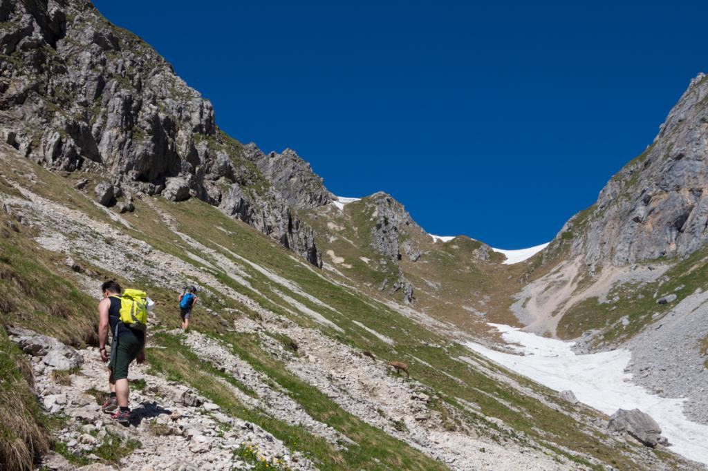
They leave the Parking directly at the Ammerwaldalm over the forest path and follow the path into the forest. It goes up quickly and the first set of meters in altitude to be covered doesn't take long to arrive. The climb is very varied and offers plenty of shade in the cool mountain forest up to the tree line.
The first impressive sight awaits you at the crossroads when you follow it Roggentalbach in Richtung Rye valley fork consequences. From this point the path winds steeply up the slope towards the sky.
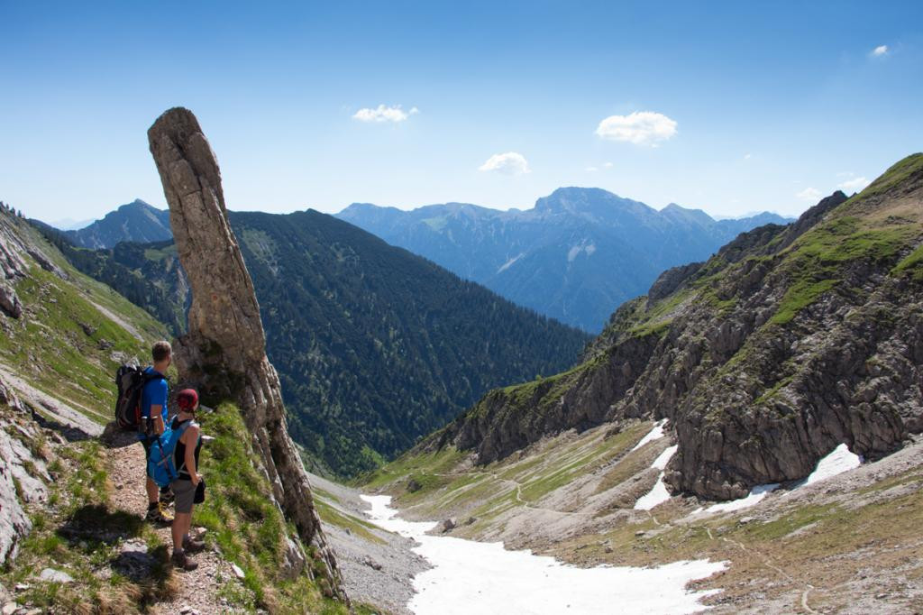
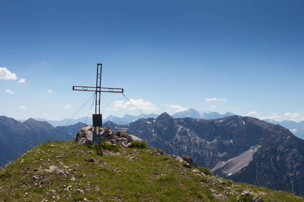
At the Rye valley fork Once you have arrived, which scores with the first view over the Krähe, Straussberg and Säuling, climb the left path up towards Hochbasse. About a small one Climbing piece in loose rock as well as one short Ridge passage You will reach the green area after about 15 minutes Peak of the Hochblase with the small but beautiful summit cross.
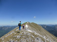
In one almost 360 degree panoramic view This peak is one of the most beautiful panoramic peaks in the Ammergau Alps. The large flat meadow around the summit is ideal for a long rest.
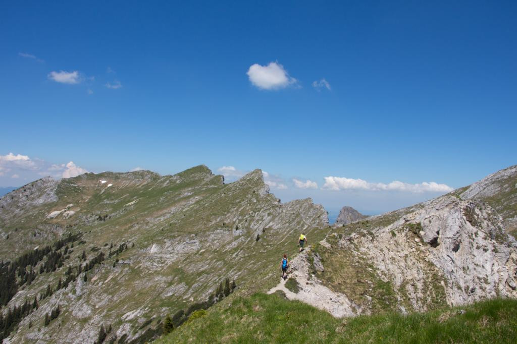
To descend you first have to go to Rye valley fork back. You follow the path towards Hunter's hut through the lovely green Köllebachtal.
After a rest at the hunter's hut, the final descent takes place via the Schützensteig Hotel Ammerwald.
About a short distance along the State highway walk the rest of the way across the Forest road, which turns left off the state road into the forest.
Our recommendation:
Never get lost again - We recommend the free “Zugspitz Region” app with, among other things, GPX tracks for all tours in the region
safety instructions
Im Emergency Please contact the nearest rescue control center. Regardless of your location, you can reach them on the telephone number throughout Germany 112.
Facilities
Welcome to Teststubn Nature Park! With us you can extensively test hiking poles, daypacks, children's carriers and groceries from well-known manufacturers before you decide to buy. Let our team advise you on how to experience the best outdoor adventure possible. Our Teststubn Nature Park can be found in the tourist information Bad Bayersoien and Bad kohlgrub and in the Bike rental Lukas Spindler in Oberammergau.
Mehr Informationen: www.ammergauer-alpen.de/teststubn
Author's tip
After the tour, we recommend a swim in the Plansee, which is already visible from the summit.
Arrival & Parking
Ammerwaldalm car park, Ammerwald
There is no charge for parking
Parking time: no time limit
Public transportation
Map
You can get maps from the local tourist information offices.
More information / links
author
Natural Park Ranger
Organization