Good to know
Directions
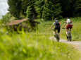
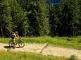
Things really get going right from the parking lot in Unterammergau. The forest road starts really steep down here and only becomes flat for a short time about halfway up, but then it gets really steep.
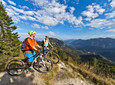
Just before the Joseph's Chapel pass the steepest point at approx. 25% gradient! Here you see the hut for the first time. Now the surface soon changes from gravel to rough asphalt and it is also a little less steep.
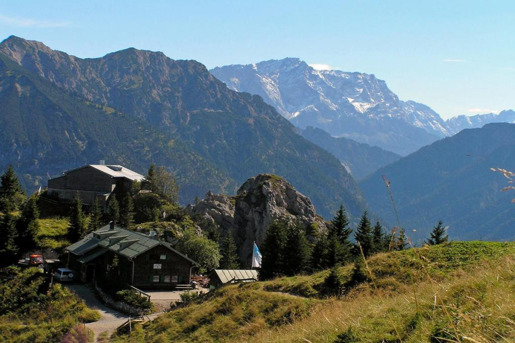
Am Pürschlinghaus/August-Schuster-Haus (1.564m) When you arrive, at least everyone deserves a break! If you want, you can hike about 200 meters further up the Teufelstättkopf from here.
The way back is the same as the way there. The shortcut in Langenthal before the small counter climb downhill to the right is only recommended for experts. It soon becomes extremely steep and gravelly here.
Please note that this tour is not signposted on site.
safety instructions
The tour has been put together to the best of our knowledge No guarantee is given for the accuracy of the information. Access is at your own risk and can be associated with the usual risks that are always present when staying in the mountains. Any liability is excluded.
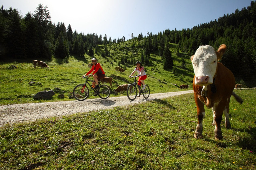
Please always take Considerate pedestrians and hikers. Make yourself noticeable in time, reduce speed and get off on narrow paths and push the bike. We appeal for respectful interaction between hikers and bikers.
Facilities
Bike rental + repair
To guarantee a smooth bike tour through the Ammergau Alps, we recommend the following equipment:
- Bicycle helmet
- Gloves
- Short or long cycling shorts
- Short or long jersey
- rain jacket
- Good shoes, possibly with a click
- sunglasses
- Hydration
- Meals
- First aid kit
- GPS device + second set of batteries
- Current map (scale 1:50)
- Replacement hose, pump
- Tools
- camera
- Money
Author's tip
Arrival & Parking
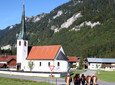
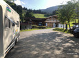
Pürschling car park, Unterammergau
large alternative parking lot
Breitenau car park
Public transportation
Bus stop: Unterammergau town hall
9606 Garmisch-Partenkirchen - Oberammergau - Wieskirche - Füssen
Train stop: Unterammergau station
Murnau - Unterammergau - Oberammergau
Map
To plan your mountain bike tour from home, we recommend our interactive tour planner.
You can get the following maps at the tourist information office on site: - Cycling map “Theme Tours Zugspitz Region”
More information / links
author
Natural Park Ranger
Organization