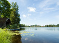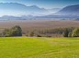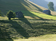
Large circumnavigation of Lake Soier with wonderful views of the Alps
Good to know
Directions
The tour starts on Rott monument in the town center. From there you hike in In the direction of Brandstatt, past the sundial park to Kirmesauer Straße.
Approximately 100 m after the Parkhotel, turn right onto a tarred road. Then hike for about 400 m and turn right onto a forest path and stay on it until you come across a tarred farm road again.
Here you keep right and reach the Village street, where you go back to our starting point.
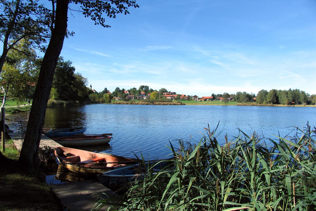
But before that you can go to that Fischerhäusl at Soier Lake stop for a little rest.
safety instructions
Im Emergency Please contact the nearest rescue control center. Regardless of your location, you can reach them throughout Germany at Telephone number 112.
Facilities
Welcome to Teststubn Nature Park! With us you can extensively test hiking poles, daypacks, children's carriers and groceries from well-known manufacturers before you decide to buy. Let our team advise you on how to experience the best outdoor adventure possible. Our Teststubn Nature Park can be found in the tourist information Bad Bayersoien and Bad kohlgrub and in the Bike rental Lukas Spindler in Oberammergau.
Mehr Informationen: www.ammergauer-alpen.de/teststubn
Arrival & Parking
Parking lot in Brandstatt, Bad Bayersoien
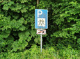
Public transportation
Bus stop: Gasthof Weißes Roß, Bad Bayersoien
9606 Garmisch-Partenkirchen - Oberammergau - Wieskirche – Füssen
Guests in the Ammergau Alps region travel free by bus and train with the electronic guest card or KönigsCard.
Map
You can get maps from the local tourist information offices.
More information / links
author
Natural Park Ranger
Organization