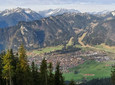
Lonely and scenic bike and hike tour to Frieder
Combined tour with mountain biking and hiking up to Frieder and the Rotmoos-Alm
Good to know
Directions
From the Parking lot for hikers From there you go by mountain bike along the Elmaubach towards Rotmoosalm.
The landscape is very attractive and the gradients on the journey are limited. There are just 8 meters of elevation gain over an 300 km route. Depending on your pace, it takes between 45 and 55 minutes to get there Junction to the Frieder near the Rotmoos Alm.
This branch is on the wide saddle the Rotmoos-Alm and is signposted. However, the sign is aimed at hikers coming from the Loisachtal and therefore the sign can only be seen in retrospect. Leave your bike here.
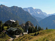
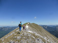
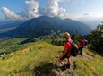
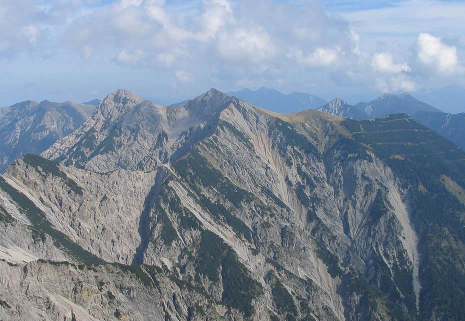
In numerous hairpin bends The narrow path now leads steeply upwards. At the beginning it goes through forest, but soon it becomes clearer and much sunnier. After Friederalm You can reach it about 100 meters above one Which (1700 m). After passing through the grassy southern slope A little later you stand on the summit of the Friederspitz. From here, an easy path leads from the north side down the Friederspitz into a grassy depression. The 90 meters of altitude lost here and another 4 go back up to the summit of Frieder on the other side.
The descent and return journey are identical to the ascent and the journey.
Our recommendation:
Never get lost again - We recommend the free “Zugspitz Region” app with, among other things, GPX tracks for all tours in the region
safety instructions
Im Emergency Please contact the nearest rescue control center. Regardless of your location, you can reach them throughout Germany at Telephone number 112.
Facilities
Welcome to Teststubn Nature Park! With us you can extensively test hiking poles, daypacks, children's carriers and groceries from well-known manufacturers before you decide to buy. Let our team advise you on how to experience the best outdoor adventure possible. Our Teststubn Nature Park can be found in the tourist information Bad Bayersoien and Bad kohlgrub and in the Bike rental Lukas Spindler in Oberammergau.
Mehr Informationen: www.ammergauer-alpen.de/teststubn
Author's tip
Especially in autumn, the view from the Kuchelberggrat of the colorful forests is a beautiful natural spectacle.
Arrival & Parking
Fürstenweg car park, Graswang
Public transportation
Map
You can get maps from the local tourist information offices.
More information / links
author
Natural Park Ranger
Organization